
Water Environment Pressures
What recognised water environment pressures apply to Wildwood Grove?
Evidence Sources
The information presented on this page is derived from:
Defra MAGIC water environment and pressure mapping
Drinking Water Safeguard Zone mapping
Water Framework Directive priority-catchment mapping
Catchment Sensitive Farming priority mapping
Countryside Stewardship water-quality priority mapping
Groundwater vulnerability and soluble rock risk mapping
Site hydrology, geology, soils and drainage evidence
Watercourse, ditch, spring and wet-ground observations
Overview
Wildwood Grove sits within a recognised water environment pressure context.
The site contains spring emergence, wet ground, ditches, drainage infrastructure, tributary channels and a watercourse that connects into the Streamcombe tributary system. Water leaving the site continues downstream towards the River Brockey and the River Exe.
The pressures listed below record the recognised water environment context associated with the site. They do not state that Wildwood Grove is causing water pollution. They identify the mapped priorities and physical pathways through which water environment pressures are relevant to the site.
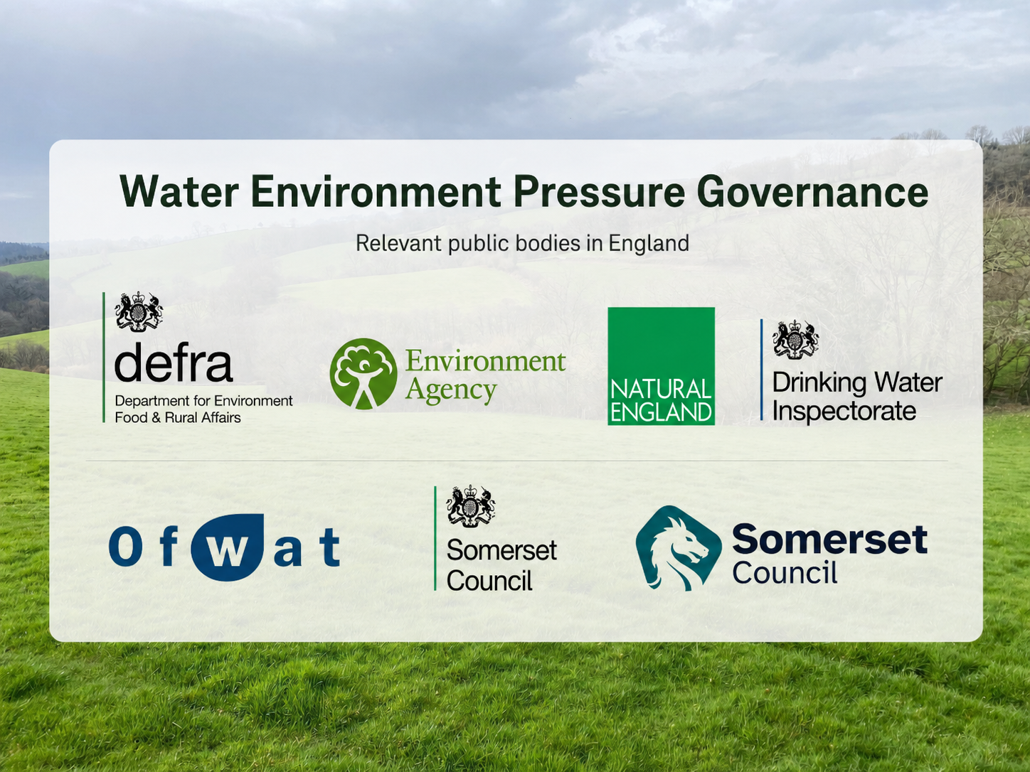
Figure 1. Water environment pressure governance
Summary image showing public bodies involved in water quality, drinking-water protection, catchment regulation, environmental permitting, water-sector oversight and local water-management responsibilities relevant to Wildwood Grove.
Recognised Water Environment Pressures
Recognised water environment pressures associated with Wildwood Grove include:
Drinking water protection pressure, with the site falling within the Drinking Water Safeguard Zone for the River Exe Surface Water.
Water Framework Directive pressure, with the site falling within the River Exe Water Framework Directive Priority Catchment.
Surface-water quality pressure, associated with the movement of water from the site into the Streamcombe tributary system and onward towards the River Brockey and River Exe.
Headwater pressure, because the site contains spring emergence, wet ground, drainage features and a watercourse close to the beginning of the catchment network.
Groundwater vulnerability pressure, with the site falling within a High Groundwater Vulnerability Area.
Soluble rock pathway pressure, with the site falling within a mapped Soluble Rock Risk Area.
Spring-source pressure, where groundwater emergence, soil saturation, drainage and surface flow interact within a confined agricultural headwater setting.
Drainage modification pressure, associated with historic drainage features, ditches and altered wet-ground behaviour across the holding.
Runoff pressure, where rainfall response, slope, soil moisture and drainage condition influence how quickly water moves through and from the site.
Nutrient pressure, with the site falling within a mapped Phosphate Issues Priority Area.
Agricultural diffuse pollution pressure, with the site falling within a Catchment Sensitive Farming Priority Catchment.
Countryside Stewardship water-quality pressure, with the site falling within a Countryside Stewardship Water Quality Priority Area.
Faecal organism pressure, with the site falling within a mapped Faecal Indicator Organisms Issues Priority Area.
Pesticide pressure, with the site falling within a mapped Surface Water Pesticide Issues Priority Area.
Sediment movement pressure, associated with runoff, drainage pathways, wet ground, exposed soil, field margins and watercourse connectivity.
Water temperature pressure, with the site falling within a Keeping Rivers Cool Priority Area.
Riparian condition pressure, where shading, bank vegetation, channel form and watercourse margins influence water quality and aquatic habitat condition.
Woodland water-quality pressure, with the site falling within mapped Woodland Water Quality Priority Areas.
Flood-risk and flow-management pressure, with the site falling within a Flood Risk Management Priority Area classified as High.
Natural water-retention pressure, associated with the condition of wet ground, drainage features, soil moisture, spring flow and headwater storage.
Climate-related water pressure, with the site falling within Climate Change Vulnerability Buffer Zones.
Drought and water-security pressure, associated with national policy concern over long-term water availability, water efficiency and resilient water systems.
Monitoring pressure, because water quality, water level, soil moisture, rainfall response and flow behaviour need to be measured over time to understand how the headwater system functions.
Pressure Context
The water environment pressure context at Wildwood Grove is shaped by the site’s position as a spring-fed headwater holding.
The same physical features appear repeatedly across this page: groundwater emergence, wet ground, ditches, historic drainage, runoff pathways, soil moisture, watercourse connection and downstream flow. That repetition is intentional because water environment pressure is not held in one place. It moves through connected land, soil, groundwater, ditches, watercourses and catchments.
The pressure record should therefore be read as a water environment and pathway context, not as a claim that site-specific water pollution has been proven.
From pressure context to practical delivery
This page records recognised pressure context. It does not claim that outcomes have already been delivered.
Fresh Start is being created to provide a monitored pathway through which pressure, intervention, system response and evidence can be connected over time.