
Geology and Soils
What geological and soil characteristics currently exist at Wildwood Grove?
Evidence Sources
The information presented on this page is derived from:
Geckoella Geology and Soils Technical Note, April 2026
Hill Court Farm soil laboratory analysis, April 2026
Groundsure Review with Full Planning Search, September 2025
Defra MAGIC mapping datasets
Site field surveys undertaken during 2026
Overview
Wildwood Grove is located within the upland landscape of the upper River Exe catchment near Dulverton, Somerset.
The geological and soil baseline comprises:
Upper Devonian sedimentary bedrock
No recorded superficial geological deposits
Predominantly freely draining loamy soils
Localised seasonally wet and slowly permeable soils
Groundwater-bearing bedrock classified as a Secondary A Aquifer
Silty loam topsoils recorded across sampled locations
Together these components form the physical substrate underlying the site’s vegetation, hydrology and land use.
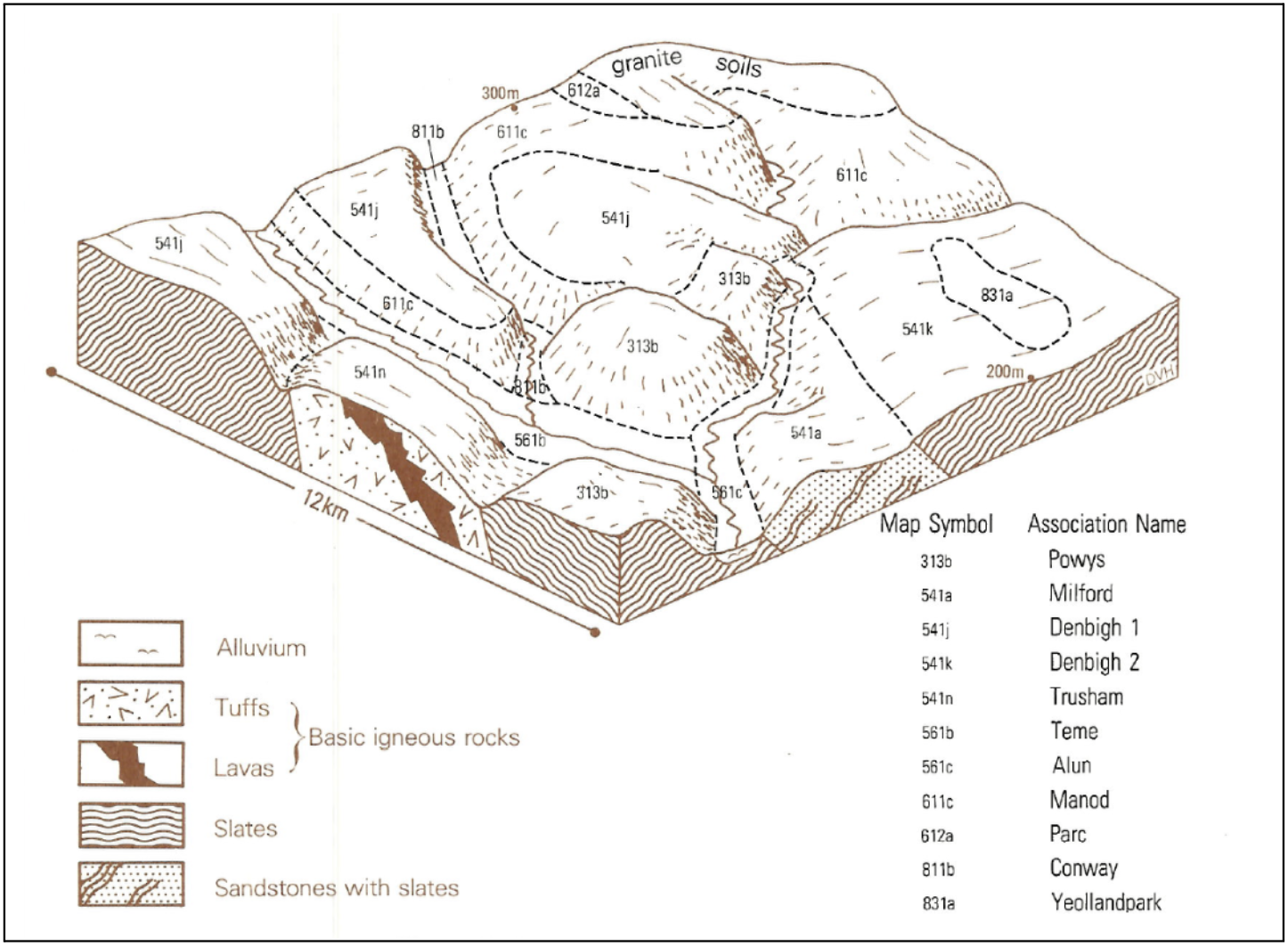
Figure 1. Geological and soil context
Mapping extract showing the Baggy Sandstones Formation, soil classifications, aquifer context and relevant groundwater vulnerability layers.
Bedrock Geology
The bedrock underlying Wildwood Grove is mapped as the Baggy Sandstones Formation of Upper Devonian age, approximately 359–372 million years old.
The formation comprises:
Sandstones
Siltstones
Mudstones
These rocks were deposited within a range of ancient environments including fluvial, floodplain, deltaic, palustrine and shallow marine settings.
Geological mapping identifies this formation as the principal bedrock unit beneath the site.
Superficial Deposits
No superficial geological deposits are recorded within the site boundary.
The geological baseline therefore indicates that soils across the site have developed directly from weathering of the underlying bedrock and associated local materials rather than extensive mapped superficial deposits.
Hydrogeological Setting
Groundsure mapping classifies the underlying bedrock as a Secondary A Aquifer.
The Defra MAGIC groundwater vulnerability mapping also records:
High groundwater vulnerability
Soluble rock risk classification within the wider groundwater dataset area
Groundwater emergence occurs within the site through a series of springs associated with the underlying sandstone geology.
Soil Types
The Geckoella geological assessment records two principal Soilscape classifications within the site.
Freely Draining Soils
The majority of the site is mapped as:
Freely draining, slightly acid loamy soils.
These soils are associated with the Denbigh 1 Soil Association and are described as:
Well drained
Fine loamy and fine silty
Developed over bedrock
Locally shallow in places
Occasionally associated with slight seasonal waterlogging and slowly permeable subsoils
Seasonally Wet Soils
The eastern part of the site transitions into:
Slowly permeable, seasonally wet, acid loamy and clayey soils.
These soils occur in association with lower-lying and wetter parts of the landscape.
Soil Sampling
A geological field survey and soil sampling programme was undertaken across six sampling locations during March 2026.
Laboratory analysis recorded the soil texture at all six sampling points as:
Silty Loam (ZL).
Sampling locations were distributed across the site to provide a representative baseline of existing soil conditions.
Soil Nutrient Analysis
Laboratory analysis measured soil mineral nitrogen within the upper 7.5 cm of soil at six sampling locations.
Recorded Soil Mineral Nitrogen (SMN) values ranged from:
2.6 kg/ha
to 15.6 kg/ha
across the sampled locations.
The results provide a baseline record of nutrient conditions at the time of sampling.
Topography and Geological Expression
The site occupies an undulating upland landscape characterised by slopes and small valleys draining towards the Streamcombe watercourse system.
The interaction between:
Baggy Sandstone bedrock
Groundwater emergence
Loamy upland soils
Localised seasonally wet ground
contributes to the site’s present-day geological and hydrological characteristics.
Geological and Soil Components Recorded
The geological and soil features currently recorded at Wildwood Grove include:
Upper Devonian Baggy Sandstones Formation bedrock
Sandstone, siltstone and mudstone lithologies
No recorded superficial geological deposits
Secondary A Aquifer designation
High groundwater vulnerability classification
Freely draining slightly acid loamy soils
Seasonally wet loamy and clayey soils
Denbigh 1 Soil Association soils
Silty loam topsoils
Groundwater-fed spring emergence
Sloping upland valley topography