
Climate Pressures
What recognised climate and resilience pressures apply to Wildwood Grove?
Evidence Sources
The information presented on this page is derived from:
Defra MAGIC environmental pressure mapping
Climate Change Vulnerability Buffer Zone mapping
Flood Risk Management priority mapping
Keeping Rivers Cool priority mapping
Woodland Flood Risk priority mapping
Woodland Water Quality priority mapping
Site hydrology, geology, soils, drainage and catchment-connection evidence
Rainfall, soil moisture, water temperature and headwater monitoring context
Overview
Wildwood Grove sits within a recognised climate and resilience pressure context.
The site is a spring-fed agricultural headwater holding where rainfall, groundwater emergence, soil moisture, drainage behaviour, wet ground, water temperature and downstream flow connection interact within one physical system.
The pressures listed below record the recognised climate and resilience context associated with the site. They do not claim that climate outcomes have already been delivered. They identify the mapped priorities and physical pathways through which climate-related pressure is relevant to Wildwood Grove.
Recognised Climate Pressures
Recognised climate pressures associated with Wildwood Grove include:
Climate vulnerability pressure, with the site falling within mapped Climate Change Vulnerability Buffer Zones.
Flood-risk pressure, with the site falling within a Flood Risk Management Priority Area classified as High.
Extreme rainfall pressure, where heavier rainfall events can influence runoff, soil saturation, drainage response and downstream flow movement.
Flow-flashiness pressure, where slope, wet ground, drainage features and rainfall intensity can affect the speed at which water leaves the headwater system.
Drought pressure, where longer dry periods can affect soil moisture, spring expression, baseflow support and the resilience of headwater habitats.
Water-security pressure, reflecting national concern over long-term water availability, water retention and resilient catchment function.
Soil-moisture pressure, where changing rainfall patterns can create alternating wetting and drying stress within the agricultural headwater system.
Groundwater-recharge pressure, where rainfall, soil condition, geology, drainage and land cover influence how water enters and moves through the site.
Spring-flow pressure, where seasonal rainfall change and drought conditions can affect the behaviour of spring emergence and early watercourse formation.
Baseflow pressure, where dry-weather flow within the headwater system may be affected by groundwater storage, soil moisture and drainage condition.
Water-temperature pressure, with the site falling within a Keeping Rivers Cool Priority Area.
Riparian-shading pressure, where stream-edge vegetation, woodland cover and shade influence water temperature and aquatic habitat resilience.
Woodland flood-risk pressure, with mapped Woodland Flood Risk Priority identifying the wider climate role of interception, storage and flow slowing.
Woodland water-quality pressure, with mapped Woodland Water Quality Priority identifying the role of woodland and riparian vegetation in water-quality resilience.
Habitat-resilience pressure, where climate change can affect grassland, hedgerows, wet ground, watercourse margins and connected habitat networks.
Biodiversity-climate pressure, with species and habitats exposed to changing rainfall patterns, warmer conditions, drought stress and more frequent extreme events.
Erosion pressure, where intense rainfall, surface runoff, bare soil, drainage lines and channel movement can increase sediment movement through the site.
Sediment-mobilisation pressure, where storm events can move fine material from land surfaces, field drains, ditches and watercourse margins into the wider catchment.
Nutrient-flushing pressure, where heavy rainfall after dry periods can increase the movement of nutrients through surface and subsurface pathways.
Agricultural climate pressure, where wetter winters, drier summers and more intense rainfall can affect grassland management, soil structure, compaction risk and runoff behaviour.
Infrastructure-resilience pressure, where tracks, field access, drainage features and watercourse crossings may be affected by wetter ground conditions and high-flow events.
Natural flood-management pressure, where the site’s headwater position makes rainfall retention, roughness, storage and flow-slowing relevant to wider catchment resilience.
Climate adaptation pressure, reflecting national policy emphasis on adapting land, water, soil, habitats and infrastructure to changing climate conditions.
Monitoring pressure, because climate-related behaviour at the site depends on recorded evidence over time, including rainfall, water level, soil moisture, water temperature, flow response and seasonal change.
Pressure Context
The climate pressure context at Wildwood Grove is connected to the site’s physical behaviour.
Climate pressure is not only about future weather. At this site, it is expressed through rainfall response, soil moisture, groundwater recharge, spring behaviour, drainage condition, wet-ground persistence, water temperature, drought sensitivity, runoff speed and downstream catchment connection.
The pressure record should therefore be read as a climate-resilience and headwater-function context, not as a claim that climate benefits have already been achieved.
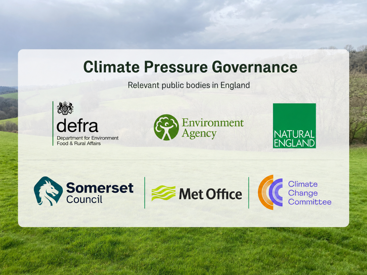
Figure 1. Climate pressure governance
Summary image showing public bodies involved in climate resilience, flood-risk management, water-environment regulation, environmental recovery, weather and climate advice, and local resilience responsibilities relevant to Wildwood Grove.
From pressure context to practical delivery
This page records recognised pressure context. It does not claim that outcomes have already been delivered.
Fresh Start is being created to provide a monitored pathway through which pressure, intervention, system response and evidence can be connected over time.