
Biodiversity Pressures
What recognised biodiversity pressures apply to Wildwood Grove?
Evidence Sources
The information presented on this page is derived from:
Defra MAGIC biodiversity and habitat-network mapping
Priority Habitat Network mapping
Restorable Habitat and Network Enhancement Zone mapping
Ecological baseline survey, 2025
Site hydrology, wet ground, hedgerow, tree-line and watercourse evidence
Climate vulnerability and Keeping Rivers Cool priority mapping
Overview
Wildwood Grove sits within a recognised biodiversity pressure and opportunity context.
The site contains modified grassland, native hedgerows, species-rich native hedgerows, tree lines, wet ground, ditches, watercourses and spring-fed hydrological features. These features are relevant because biodiversity pressure is not only about the presence or absence of designated habitat. It is also shaped by connectivity, water movement, soil condition, riparian structure, wet-ground behaviour, land-use history and climate vulnerability.
The pressures listed below record the recognised biodiversity context associated with the site. They do not state that Wildwood Grove is itself a designated ecological site, or that all pressures arise from the site alone.
Recognised Biodiversity Pressures
Recognised biodiversity pressures associated with Wildwood Grove include:
Mapped priority habitat network pressure, with the site falling within Defra MAGIC Priority Habitat Network High Spatial Priority mapping.
Mapped habitat restoration pressure, with the site falling within Restorable Habitat / Network Enhancement Zones.
Habitat connectivity pressure, where the site forms part of a wider landscape network rather than an isolated ecological unit.
Wet-ground habitat pressure, associated with spring emergence, wet ground, drainage lines and historically modified hydrology.
Headwater habitat pressure, where biodiversity condition is influenced by the relationship between the spring, watercourse, riparian margins and surrounding agricultural land.
Riparian habitat pressure, where watercourse margins, shading, vegetation structure and bank condition affect aquatic and semi-aquatic habitat quality.
Grassland condition pressure, associated with the site’s agricultural history and the condition of existing pasture habitats.
Hedgerow and boundary habitat pressure, where hedgerows and field margins form part of the site’s ecological structure and landscape connectivity.
Species movement pressure, where habitat fragmentation, boundary condition and land-use patterns affect the movement of wildlife through the site and wider valley.
Pollinator habitat pressure, associated with grassland composition, field margins, hedgerows, flowering plants and pesticide-risk context within the wider catchment.
Aquatic biodiversity pressure, associated with water quality, sediment movement, nutrient movement, temperature, flow variation and channel condition.
Phosphate-related biodiversity pressure, with the site sitting within a mapped Phosphate Issues Priority Area.
Faecal organism pressure affecting biodiversity and water quality, with the site sitting within a mapped Faecal Indicator Organisms Issues Priority Area.
Pesticide-related biodiversity pressure, with the site sitting within a mapped Surface Water Pesticide Issues Priority Area.
River temperature pressure, with the site falling within a Keeping Rivers Cool Priority Area.
Woodland and tree-cover pressure, with the site sitting within mapped Woodland Water Quality Priority Areas and Woodland Flood Risk Priority mapping.
Climate vulnerability pressure, with the site falling within Climate Change Vulnerability Buffer Zones.
Soil and water interaction pressure, where soil moisture, drainage, runoff and groundwater emergence influence plant communities and habitat condition.
Landscape-scale biodiversity pressure, with the site sitting within the Environmentally Sensitive Area of Exmoor.
Nature recovery delivery pressure, because national policy now places increased emphasis on bigger, better-connected and more resilient habitats.
Monitoring pressure, because biodiversity condition cannot be properly understood without measuring how water, soil, vegetation, habitat structure and land condition interact over time.
Pressure Context
The biodiversity pressure context at Wildwood Grove is connected to the physical character of the site.
The site is not simply a grassland holding. It contains hedgerows, tree lines, wet ground, ditches, spring-fed water movement and watercourse corridors within a wider headwater valley. Those features create ecological relevance beyond the field parcels themselves.
The pressure record should therefore be read as a biodiversity, habitat-network and ecological-function context, not as a claim that biodiversity outcomes have already been delivered.
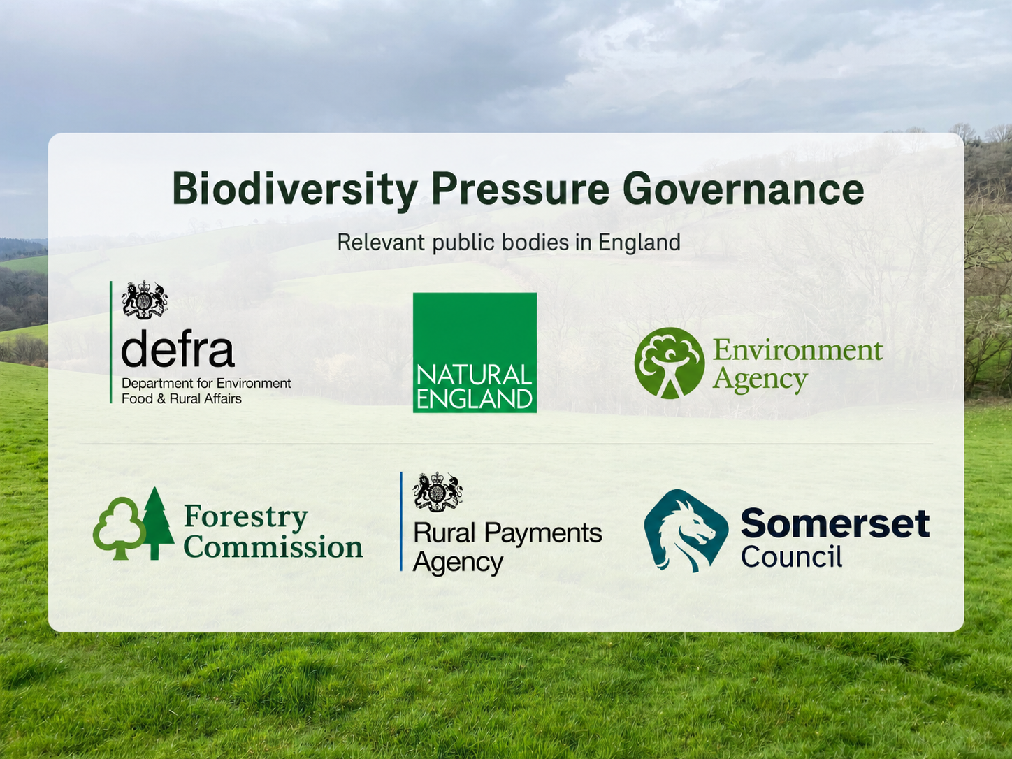
Figure 1. Biodiversity pressure governance
Summary image showing public bodies involved in biodiversity, habitat-network, nature recovery, woodland, ecological regulation and land-management responsibilities relevant to Wildwood Grove.
From pressure context to practical delivery
This page records recognised pressure context. It does not claim that outcomes have already been delivered.
Fresh Start is being created to provide a monitored pathway through which pressure, intervention, system response and evidence can be connected over time.